.png)
 1 hour ago
13
1 hour ago
13
2 min readNew DelhiJul 31, 2026 04:16 AM IST
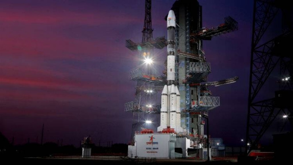 The reply also stated: “Next NavIC satellite NVS-03 is ready for launch and two more satellites NVS-04 and NVS-05 are in advanced stage of realisation.”
For the first time since positioning data from one of its satellites was lost in March, the government has accepted in the parliament that the seven-satellite navigation constellation (NavIC) can no longer independently aid people in navigation.
The Indian Space Research Organisation (ISRO) earlier this year informed that IRNSS-1F satellite, which was launched in March 2016, completed its designed mission life of 10 years and the on-board atomic clock stopped functioning.
“…presently the NavIC constellation has three satellites for providing PNT (Positioning, Navigation, Timing) services — IRNSS-1B, IRNSS-1I and NVS-01. To provide basic positioning service, minimum four operational satellites are required in orbit. Hence, the NavIC constellation cannot provide standalone positioning service, however timing service is functional,” union minister of state for space Dr Jitendra Singh replied in a written answer in Parliament.
The reply said that the armed forces continue to use NavIC signals as part of the multi-constellation GNSS — Global Navigation Satellite System that uses data from US’ GPS, EU’s Galileo, and Russia’s Glonass among others to navigate.
When asked whether it compromises accuracy for navigation or real-time mapping, the reply stated: “Since NavIC is being used in multi constellation environment for most of the use-cases, there is no vulnerability for the users.”
While end-user applications were developed for utilising NavIC signals in aviation, shipping, railways, and even in everyday cell phones, all of these devices carry a GNSS receiver, meaning they can continue to get positioning data from other constellations.
The reply also stated: “Next NavIC satellite NVS-03 is ready for launch and two more satellites NVS-04 and NVS-05 are in advanced stage of realisation.”
Story continues below this ad
The constellation can still provide accurate time signals for digital devices as well as broadcast emergency messages.
The Indian Regional Navigation Satellite System (IRNSS) — also referred to with the operational name of Navigation with Indian Constellation (NavIC) — was planned to be a seven-satellite system to provide positioning data over the Indian subcontinent and 1500 km around it. Ever since its inception, however, it has been plagued by problems affecting its positioning data.






 English (US) ·